The Forgotten Highway


This route will be located through the Karoo, some distance west of the N1 highway.
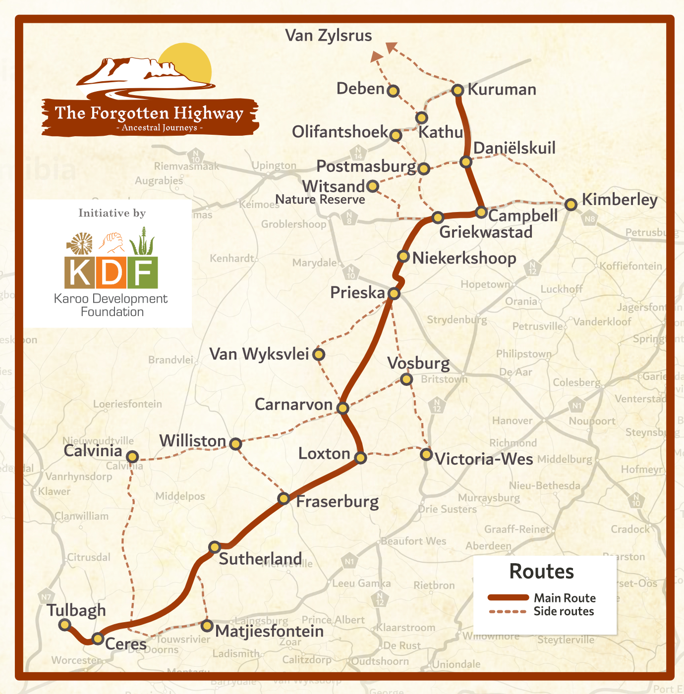
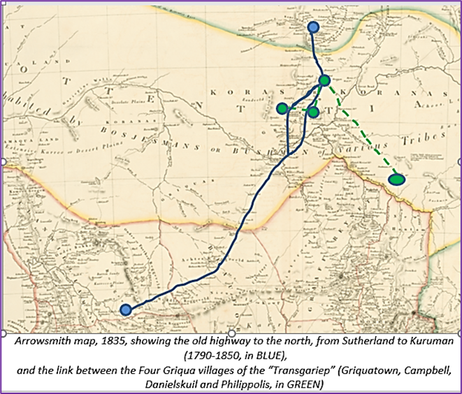
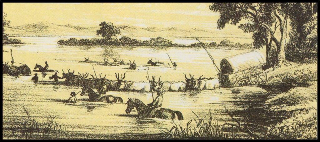
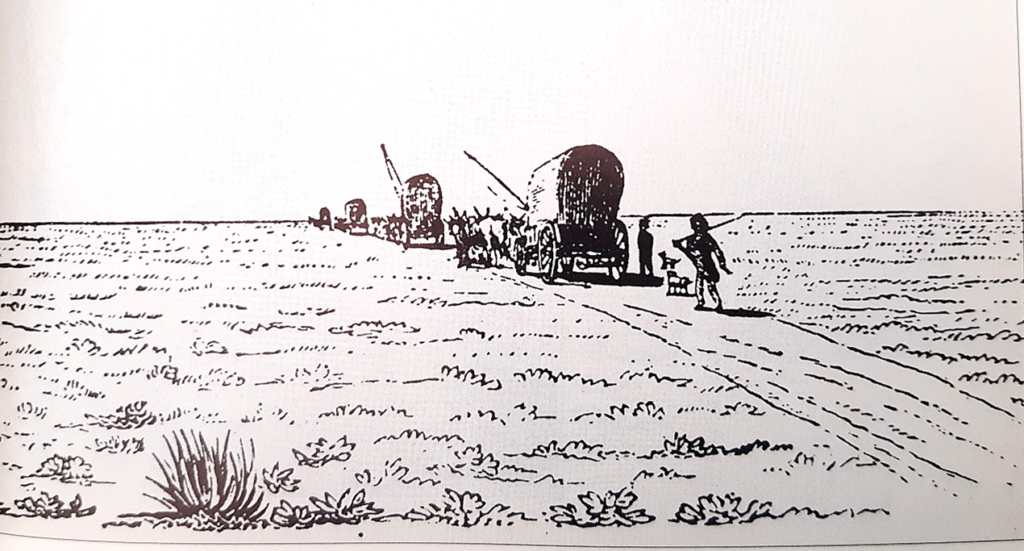
Between the mid-1700s and the mid-1800s, an increasing number of people travelled north, from the Cape Colony, to the new frontier along the Orange River. From the 1780s, another route went northwards from Tulbagh, then through the Karoo, via Sutherland, Fraserburg, Carnarvon, Griquatown, or Blinkklip (later called Postmasburg), Danielskuil and Kuruman.
The main theme will be the forgotten history of different peoples along the route. By providing information to travellers (in pamphlet and online formats), they will know what the key historical events and dynamics were along the route. This will be an intrinsically multi-cultural experience.
These travellers included Basters (coloured farmers) who wanted to escape repressive Colonial practices; run-away slaves; missionaries; explorers; hunters; traders and trekboers. They typically met up with San, Khoi, and Xhosa people (the latter were based near Prieska). Near Griquatown, there was also a Tswana presence in the Langberg and in Danielskuil. This important crucible of South African culture was therefore a “confluence of cultures”. This confluence occurred at mission stations, indigenous settlements, fountains and farmsteads.
Here is a PDF guide to help with plan your route in 11 stages: The stage guide of the forgotten highway route
- Stage 1: Nuwekloof Pass – Tulbagh – Michell’s Pass – Ceres
- Stage 2: Ceres to Sutherland
- Stage 3: Sutherland to Fraserburg
- Stage 4: Fraserburg to Loxton
- Stage 5: Loxton to Carnarvon
- Stage 6: Carnarvon to Prieska
- Stage 7: Prieska to Griquatown
- Stage 8: Griquatown to Danielskuil via Campbell and Lime Acres
- Stage 9: Danielskuil to Kuruman
- Stage 10: North of Kuruman and Kathu: Deben, Hotazel and Vanzylsrus
- Stage 11: From Danielskuil or Campbell to Kimberley … and beyod