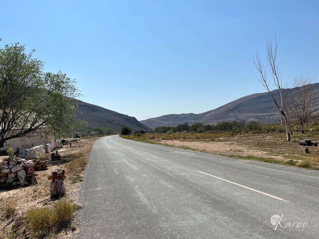
Karoopoort: The gate to the desert
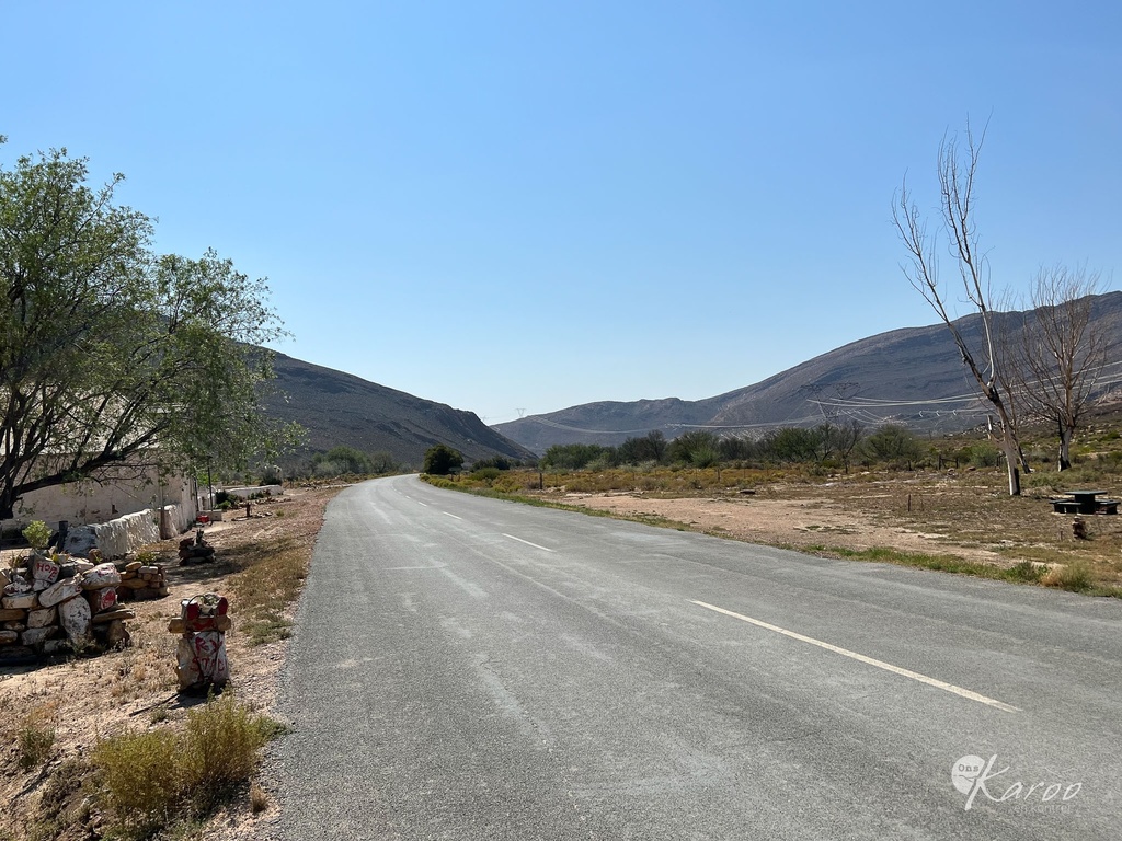
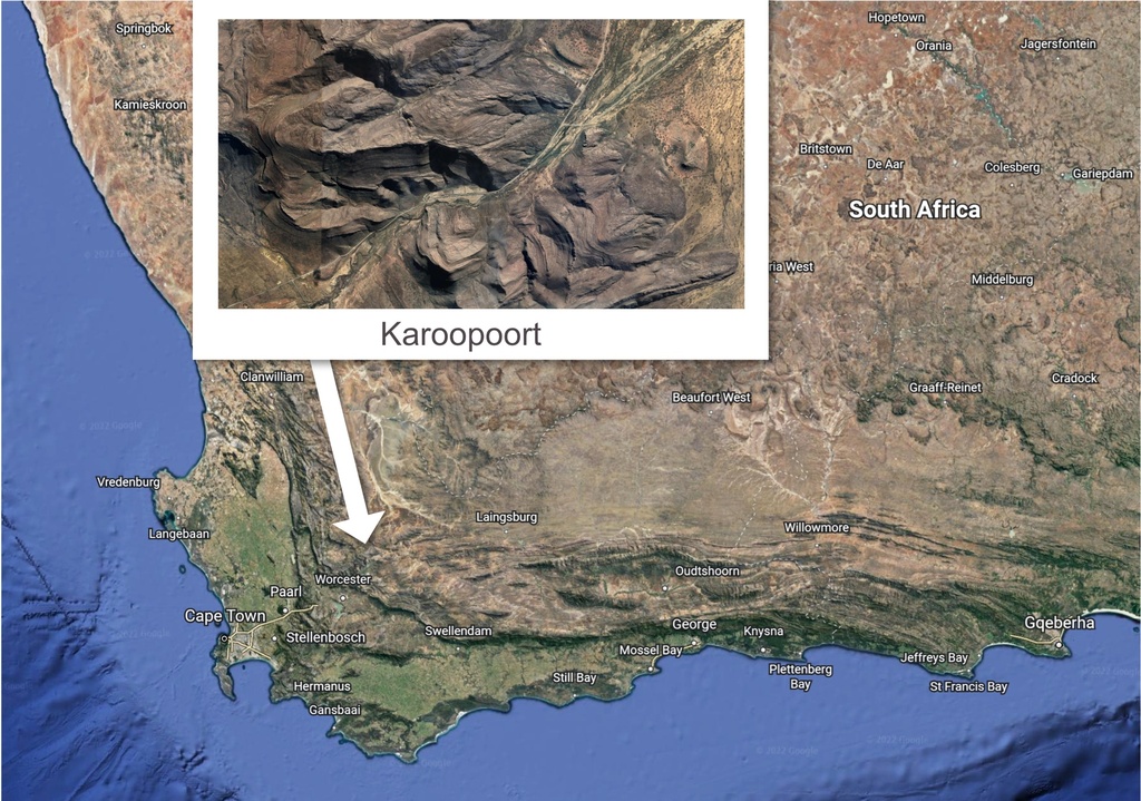
The history of the Ceres Karoo region goes back thousands of years. These hills The Ceres Karroo and surrounding hills were first occupied by Early Stone Age and Middle Stone Age communities as early as one million years ago. Prehistoric sites in the area contain surface and sub-surface stone artefact scatters, with blades, scrapers, ostrich eggshell, and indigenous pottery.
Several rock art sites have been recorded in the local vicinity of Karoopoort Farm, depicting colonial people, wagons and horses (Yates et al 1993; Hall and Mazel 2006). There is also an ancient rock shelter near the homestead.
This thoroughfare would have been used in prehistoric times much the same way it was in historic times, as a means to travel between these two biomes in order to benefit from the seasonally available game and plant food – whether for hunting or for farming. The early farmers of the Ceres Karoo would lead their herds through the pass to escape the worst of the Koue Bokkeveld winters.
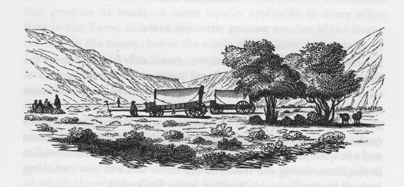
For early travellers, this was the only access point to the Karoo. It was also memorable, because for many travellers, it was their first encounter with the Karoo veld and landscape. They were often astonished by the dryness of this region, particularly in contrast to the wellwatered Tulbagh and Ceres valleys.
The pass follows the bed of the Doring (or Doorn) River – usually just a trickle, but it can swell significantly in case of a rare thunderstorm. The river flows from south to north, towards the Karoo, and it finds its source in the highlands of the Hottentotskloof.
The Kwarrieberg (which is the eastern end of the Baviaansberg range) is situated on the west of the pass (on the left, as you go north). The Saalberg is in the east.
Burchell wrote: “The strata of the mountains here, on each side, are inclined in opposite positions and curiously curved in undulating lines”. As you travel north, you enter the southern Karoo, also known as “Ceres Karoo” or “Bokkeveld Karoo”.
Karoopoort was visited by all the important explorers of the late 17th and early 19th centuries – Thunberg, Le Vaillant, the Somerville-Truter Expedition, Lichtenstein, De Mist, Burchell and Barrow. Thunberg, accompanied by Francis Masson, a Scottish horticulturist from Kew Gardens, passed through the Poort on 9 December 1774.
Somerville and his colleagues passed through the Karoopoort on 8 October 1801, where they “unyoked the oxen and dined”.
For Lichtenstein, on his first journey from the north, in 1803, the early morning light in the Poort was delightful: “The return of the morning light threw magic shadows upon the naked rugged rocks and on the green bushes that bordered the deep torrent … as if by enchantment, we found ourselves in the mild twilight of this contracted valley, the living vegetation of which formed so fine a contrast with the with the dry, barren, and almost boundless plain which we had quitted”.
- This article is an extraction from the Karoo Development Foundation's guide: The Forgotten Highway - resources guide for travellers.

These are points of interest related to this article, mostly with GPS locations, so you can visit.