Hardemans-Karoo


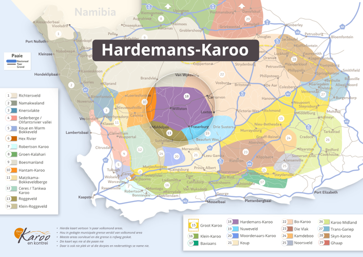
Hardemans-Karoo. The name is used in books and articles, but so far, I have not been able to find any reference to its origin. Old maps also do not show the name Hardemans-Karoo; instead, the name Agterroggeveld was used for the area, as on the map of James Wyld, 1844.
When you talk to people from the area and look at its ecology, you can make a reasonable inference – It takes a hard man to farm in this area; it is not easy. Trees in the region are as rare as hens' teeth and, therefore, the reason for so many corbel houses in this area. Corbel houses are built entirely of stone; even the roof is constructed with stone because no wood is available.
The area known as the Hardemans Karoo has Williston in the middle and partly the districts of neighbouring towns such as Fraserburg, Loxton and Carnarvon. But again, these boundaries are nowhere in writing or official, so people's opinions differ.