Compass Mountain
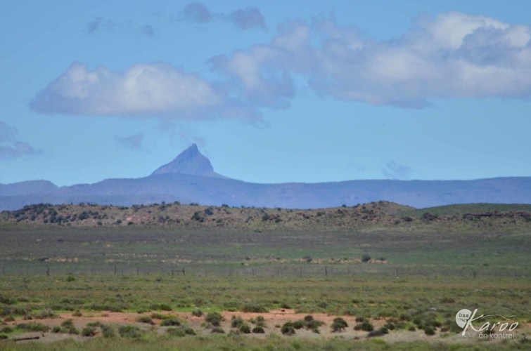
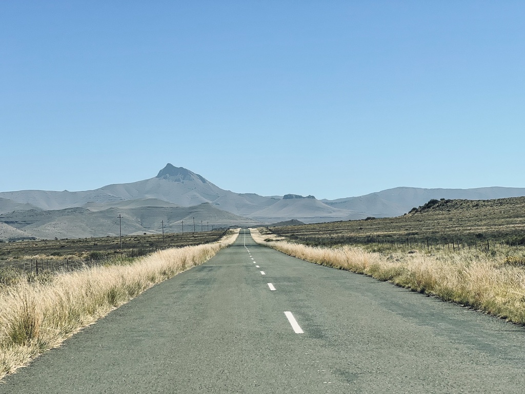
The familiar story about Compass Mountain's name is during Colonel Gordon's surveying expeditions with the Cape Governor, Joachim van Plettenberg, in 1777, or other sources say 1778. Gordon noticed how the streams flowing from the Compass Mountain spread in all directions of the compass.
The other story, however, does sound more practical. During Lichtenstein's travels, he named it Compass Mountain because it is a landmark from which the directions of travel could be easily determined, and he could use the mark to draw his maps.
For people like J Barrow, there were also the various rivers, Groot-Visrivier, Seekoei-, Sundays- and Buffelsrivier, which run in all directions of a compass from the mountain.
Compass Mountain is the highest mountain peak in South Africa outside the Drakensberg/Maluti Highlands, with an elevation of 2503m above sea level.
Sources:
- Clarke, D. C. (1983). Mountain Odyssey in Southern Africa. Johannesburg: Macmillan South Africa (Publishers) Pty.
- Norman, N. (2013). Geology of the beaten track - exploring South Africa's hidden treasures. Cape Town: Struik Nature.
- Ward, D. B. (1988). Berge van Suider-Afrika. Kaapstad: Struik.