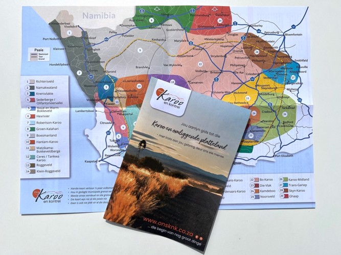
Ons Karoo en Kontrei Map
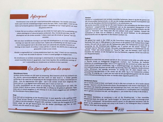
Regional names have always been a very controversial topic. Some of these names were already used by the explorers from the late 1700s, early 1800s. They wrote the names on their maps, but there was never a clear line drawn on a map of where the borders extended.
Another fact to remember is that many regions were named after particular vegetation or nature-related phenomena. Now, hundreds of years later, the vegetation of the regions has changed. One assumes the region's "borders" have also changed.
Just as there are different opinions about where the regional boundaries are, so there are different opinions about where the names come from. During the development of the map, many people who live in the regions were spoken to incorporate the local residents' opinions. And remember a town itself lies in a district. The district area is vast and usually falls into more than one region.
This is undoubtedly not a strictly academic map, but more a map to show you roughly where the regions lie that one hears about in so many poems and songs are.
These maps are now available for you to buy at some of the farmstalls in our area. See the list below:
If you own a Farmstall and would like to sell these maps, please e-mail us adri@onsknk.co.za
Farmstalls where the map is available: