Cogmanskloof Pass
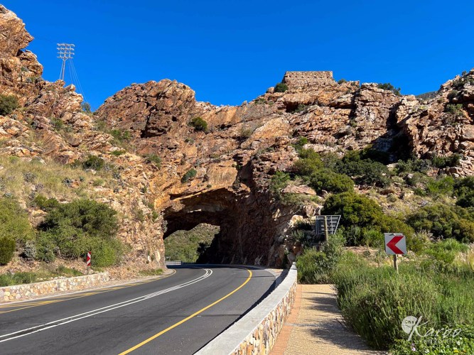
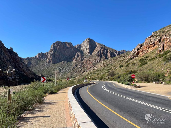
Cogmanskloof Pass cuts through the Langeberg Mountains and connects Ashton and Montagu. It was originally completed as an alternative to Tradouw Pass, which is located to the east. The pass follows the Kingna River (also known as the Cogmans River), which, like other nearby passes, is at risk of flooding. However, the valley is low enough to build roads above expected flood levels.
Early European settlement in the area began in 1725, but access was challenging due to the riverbed path, which had several dangerous crossings. In the 1850s, the Swellendam Divisional Council made improvements, which were often washed away.
In 1861, a parliamentary committee decided to build a proper road using convict labour, although no convicts were available. After twelve people drowned in a flood in 1867, work began in earnest, but progress was slow. 1872 Thomas Bain and Superintendent C. Hendy were brought in to complete the work. The road, including the famous tunnel under Kalkoenkrantz, was completed in 1877. The pass has reliable access to all the floods that affect the region.
The pass was exceptionally well built. Bain's boast that 'suitable drains and culverts protect the road - the slopes are so easy that it will not be subject to much damage from heavy rains and consequently will cost little in repairs... was prophetic.
During the disastrous floods of 1980, when the new road through the gorge was breached in several places and destroyed weirs and bridges, it was Bain's road that successfully carried all traffic for the weeks it took for the water to subside and the modern road to be repaired. The old stonework remained immaculate.
Sources:
- Komnick, P. S. (1984). A Colossus of Roads - Thomas Bain. Cape Town: Murray & Roberts/Concor.
- Ross, G. (2002). The Romance of Cape Mountain Passes. Cape Town: David Philip Publishers .